
Colerain Township ZIP Code Coverage
Hamilton County Public Health's 2025 Colerain Township Community Data Profile identifies six ZIP codes that overlap township geography: 45002, 45231, 45239, 45247, 45251, and 45252. The profile also gives the key warning for this ZIP code directory: its ZIP-based figures include neighboring communities that share those postal zones. The source does not allocate a township neighborhood or a particular post office to each code, so a table that pretends it does would be misleading.
| ZIP code | Documented relation to township | Post office detail | Research use |
|---|---|---|---|
| 45002 | Listed as overlapping Colerain Township geography | Not specified by the verified profile | Confirm the individual address with USPS, then use parcel records. |
| 45231 | Listed as overlapping Colerain Township geography | Not specified by the verified profile | Confirm the individual address with USPS, then use parcel records. |
| 45239 | Listed as overlapping Colerain Township geography | Not specified by the verified profile | Confirm the individual address with USPS, then use parcel records. |
| 45247 | Listed as overlapping Colerain Township geography | Not specified by the verified profile | Confirm the individual address with USPS, then use parcel records. |
| 45251 | Listed as overlapping Colerain Township geography | Township Administration Building uses this mailing ZIP | Mailing use is not a township-boundary claim. |
| 45252 | Listed as overlapping Colerain Township geography | Not specified by the verified profile | Confirm the individual address with USPS, then use parcel records. |
The County Public Health profile supports the six-code overlap, not six local districts. That distinction is practical. A result needs an actual street address, parcel, or legal description before it can be tied to a township record. Note: Preserve the profile's overlap warning whenever a postal code is used as a search clue.
Colerain Township's Six Postal Codes
Six postal codes touch Colerain Township, but postal delivery geography was not designed as a local-government map. The township's 2026 resident packet names Barnesburg, Bevis, Dunlap, Dry Ridge, Groesbeck, Mount Healthy Heights, Northbrook, Northgate, Peach Grove, Pleasant Run, and White Oak. It does not assign any one of those areas to a ZIP. Treat those names as useful research terms for a directory, plat, obituary, road list, or local-history search, not as proof of a current postal assignment.
The numbers also show why a broad postal label needs care. The Township packet reports a 2020 population of 59,239 and 42.9 square miles, while the Census profile reports 42.7 land square miles. The small area difference reflects measurement presentation, not a verified boundary revision. In a place of this size, a Colerain Township address may have a mailing city or ZIP shared with nearby communities while its property, court, vital, and election records remain Hamilton County records.
Verify a Colerain Township ZIP Code First
Use the official USPS ZIP Code Lookup to standardize one mailing address before opening a county record. The Address lookup requires a street and city and state or ZIP, with company information optional. City and State lookup requires both fields. Cities by ZIP begins with the ZIP itself. USPS warns that an address result does not confirm that a particular person or company is at that address, so it is an address-normalization tool rather than a resident list.
| USPS lookup field or mode | Verified use |
|---|---|
| Address lookup | Street is required, with city and state or ZIP; company is optional. |
| City and State lookup | Both city and state are required to identify matching ZIP information. |
| Cities by ZIP | The ZIP is required to retrieve the postal city information. |
The official USPS city and state search is the source shown here.
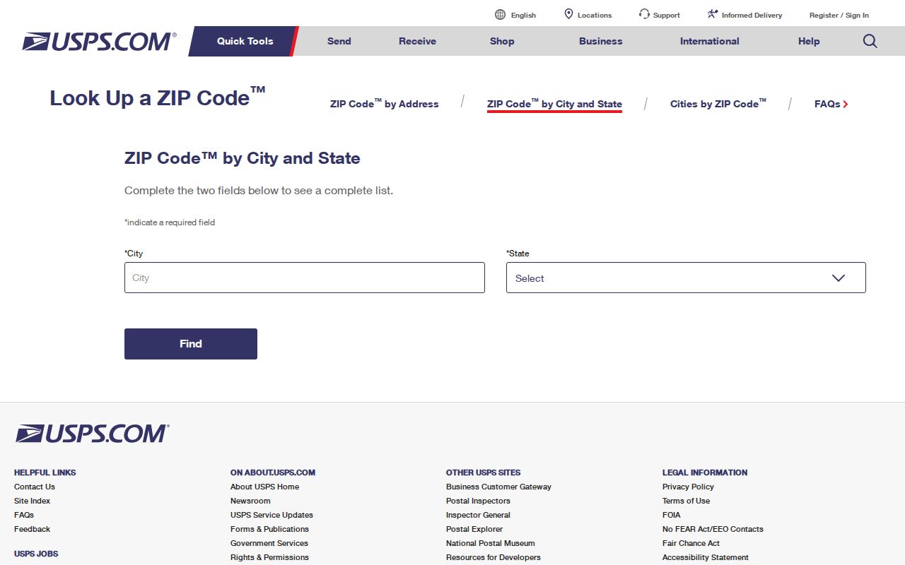
After USPS returns a normalized form, copy the street number and street name into the Auditor and map tools. Keep the result with the date checked, because postal results identify delivery geography and can change independently of a land record.
Find Records From a Colerain Township ZIP Code
No inspected official local portal returns a ZIP-wide roster of residents or property results. The Hamilton County Auditor's displayed property search does not have a ZIP field. Ohio My Voter Information requires first name, last name, and county for an individual lookup, and it does not offer a visible ZIP search. A ZIP code therefore starts an address trail; it does not replace a precise address or a named-person verification.
- Check the full mailing address in USPS and save the postal form without treating it as proof of township jurisdiction.
- Search the street address in the Hamilton County Auditor Property Search to find the parcel, situs, transfer clues, and owner of record.
- Use the parcel ID or tax-map reference in CAGIS Online to connect the address to the mapped parcel.
- When a person must be verified, use a name-based voter or court route and compare an independently known address or date.
- Use the Recorder's land anchors when the address is old, incomplete, or different from the one now used for mail.
Once a ZIP has narrowed the part of the township, the Colerain Township street directory is the appropriate route for the fuller address, parcel, and deed chain. It is better to follow that chain than to assume that every address sharing a ZIP belongs to the same locality.
Colerain Township ZIP Code Search Limits
The Auditor can search by owner, street address, parcel ID, sales, and advanced categories. Its Street Address mode uses an exact or low house number, a high house number, and a street name. It asks users to omit street suffixes such as ST, DR, and CT, and it offers Street Listings to confirm spelling. Those are address and parcel tools, not ZIP filters. Most parcel IDs have 13 characters, which can be a durable key when a postal label or street number changes.
Property data also has a scope limit. It may show owner of record, parcel attributes, a situs address, and transfer information. A mailing or tax-billing address is a distinct field when shown. Neither field identifies every person at the location. The Hamilton County Recorder inquiry then provides party, document, date, book or page, and legal-description routes, with image access handled separately through its account or counter channels.
Colerain Township Addresses Across Seven Grids
Hamilton County Regional Planning assigns addresses in unincorporated township areas, including Colerain Township. The county and Cincinnati addressing guidance describes a decimal, hundred-block, and Philadelphia system used through much of the county, but it cautions that Hamilton County has seven grids. Older or curving streets can also break the usual odd and even pattern. Before interpreting a number, identify the applicable grid and compare the parcel record rather than guessing from a ZIP code.
A new construction address requires a valid assignment for a building permit. Address changes can follow a discrepancy, safety, or capacity reason, and vacant parcels usually are not addressed until building is expected. That is why a rural route, plat lot, or older legal-description-only deed should be traced through a tax map, historic directory, or plat. The Recorder's Township Maps index organizes Colerain Township pages by original town, range, and section, providing a bridge from legal descriptions to place.
Colerain Township Place Names and ZIP Codes
Place names are useful supporting terms after the address is known. Barnesburg, Bevis, Dunlap, Dry Ridge, Groesbeck, Mount Healthy Heights, Northbrook, Northgate, Peach Grove, Pleasant Run, and White Oak can appear in a directory, plat, local record, or obituary even when the mailing city differs. Record the alternate place name alongside the date, address, parcel number, and ZIP rather than replacing one label with another.
Road responsibility can also help identify the right agency without defining a postal boundary. Colerain Avenue and Hamilton Avenue are Ohio Department of Transportation maintained. Examples of County Engineer-maintained roads include Old Colerain, Springdale, Dry Ridge, Dunlap, Kemper, Cheviot, Blue Rock, and Struble. Other roads may be Township or private. That classification is a jurisdiction clue for a road question, not a ZIP map.
Colerain Township ZIP Code Boundaries
A postal code, CAGIS polygon, recorded party, or property owner does not prove that a current household is in Colerain Township. ZIP boundaries can cross local lines, while parcel and court records follow their own custodians and legal descriptions. The Township Fiscal Officer handles township proceedings and records requests at 4200 Springdale Road. The Auditor, Recorder, Clerk, Probate Court, Board of Elections, and CAGIS or Engineer carry the countywide property, court, election, and map records.
Use the record creator that matches the question. A township planning or zoning file may need a focused township request. A parcel question belongs with the Auditor, a recorded transfer with the Recorder, and a court matter with the Clerk or Probate Court. A postal code is a first check, while the combination of standardized address, parcel, legal description, and appropriate custodian gives the more reliable location answer.
Boundary check. A ZIP code helps format mail, not settle jurisdiction or identify a current resident. Confirm the street address, parcel, and the custodian responsible for the record.
Colerain Township ZIP Code Terms
Postal and land-record terms do different work. Keeping them separate avoids turning a delivery result into a property conclusion. The terms below are useful when comparing a USPS result with the Auditor, Recorder, CAGIS, or a township request.
- ZIP code
- A postal delivery code used to sort mail. It can cross township and municipal boundaries.
- ZIP+4
- An added four-digit delivery detail used by USPS to refine a mailing address; it is not a land-boundary identifier.
- PO-box ZIP
- A postal code associated with post-office-box delivery rather than a proof of a physical property location.
- Unique ZIP
- A postal designation used for a particular organization or large addressee when USPS assigns one; none was verified for Colerain Township in the research.
- Carrier route
- A postal delivery grouping used for mail distribution, not a list of township residents or property owners.
For a historic address, the stable bridge is often the legal description, subdivision lot, town-range-section reference, book and page, or parcel ID. Those fields can survive a changed street number or a changed mailing form. Keep the source, date, and exact field value with each result.