
Find Colerain Township Neighbors by Block
The immediate-block method uses an address to find a parcel, then looks at the surrounding public parcel context. The Auditor and CAGIS chain can identify mapped parcels, property keys, tax-map context, and recorded owners. The Recorder can add a dated transfer or land connection for one chosen parcel. Clerk records may contain a public case or lien link. Community pages provide public points of contact. None of those sources is a census of everyone at each address.
| Block source | What it shows about a block | Access and limit |
|---|---|---|
| Auditor and CAGIS parcel chain | Adjacent mapped parcels, parcel keys, owner of record, legal and tax-map context | Property-specific pages; map lines are approximate and owners are not a household census. |
| Recorder Acclaim | Recorded transfer and land links for one selected parcel | Search party, parcel, or legal anchors; preserve role and date. |
| Clerk parcel/address route | Some public case or lien links tied to property | Remote documents can be restricted; a legal link is not a block relationship. |
| Hamilton County Board of Elections | Individual confirmation or lawful district and precinct public exports | Not a block browser; confidential records are withheld. |
| Township community groups | Public civic contacts and historical or community leads | No member or household directory is published. |
Colerain Township is an unincorporated township in Hamilton County. The township holds its own administrative material, while county offices keep the main parcel, recorded-document, court, and election sources. Starting with the record creator prevents a request for the right topic from reaching the wrong office.
Map a Colerain Township Block
Use one known Colerain Township address as the center of a parcel map, then work outward only as far as the research question needs. Save the starting parcel or property key and situs from the Auditor Property Search. Open CAGIS and review each adjacent parcel separately. The defensible output is a parcel-context map with recorded owners and land anchors, not a claim about every person at every door.
- Locate the starting address in the Auditor system and record its situs and parcel or property key.
- Open CAGIS Online and browse the surrounding parcel shapes or use Quick Find.
- Open each relevant parcel card and record only its public owner-of-record and parcel relationship.
- Where history is needed, use the parcel, Auditor number, legal description, or book/page in the Recorder index.
- Keep the date and source beside every result; a nearby parcel does not establish a social connection.
For a whole named road and its full address-record sequence, the Colerain Township street directory uses the broader street-by-street workflow.
Colerain Township Nearby Parcels
The Auditor's Advanced mode includes Origin Property Key and Feet from Origin. Those controls can narrow a map-oriented review to properties within a stated distance from a selected property key. They are useful for a bounded Colerain Township neighbors question because they create a parcel-oriented candidate set without pretending that proximity creates a personal connection. A result still needs individual parcel review, a date, and the correct address field.
Hamilton County reported that more than 350,000 parcels were viewed for the 2023 reappraisal. That figure makes the local property system a substantial land-record resource, but it does not change its scope. The public parcel card supports an owner-and-property reading. It does not publish a phone or email directory, and an owner name is not an automatic finding about the current household.
Note: Keep the original property key with every nearby result so a later map refresh or changed street label does not break the comparison.
Colerain Township Map Edges
CAGIS is a locator, not a survey. The official tax-map instructions direct users to Quick Find, then Tax Maps for a book/page or Parcel ID for a book-page-parcel value. Show Parcel Data opens the property report. The map can place parcels next to each other and tie an old land description to a present map display, which is often the key bridge for a Colerain Township block.
The Auditor warns that CAGIS and aerial parcel boundaries are approximate. An exact property boundary requires a licensed surveyor reading the deed and marking it. Do not treat a shaded edge, a road centerline, or an aerial feature as a survey result. This limit is important when nearby parcels meet at an irregular line, a curve, or a subdivision boundary.
Colerain Township Neighbor Records
Use the Recorder's Acclaim parcel search after the parcel or Auditor number is known. Acclaim offers parcel and other land-oriented paths, including Book/Page, Document Number, Subdivision/Lot, Section/Town/Range, Auditor Number, and Subdivision Name. From a selected document, record the grantor, grantee, recording date, document type, instrument or book/page number, and legal description.
A recorded party identifies a role in a dated document. It does not establish current presence on the block. The Recorder reports document indexes from 1789 forward and plats from 1850 forward, while online image availability varies. Images require the Recorder account and subscription path. When a needed document is not available through that route, use a counter visit or a focused document request with the land anchors already gathered.
Colerain Township Voter Boundaries
Ohio's My Voter Information screen is an individual verification tool. Its visible starting fields are First Name, Last Name, and County, and it may ask a user to select a street name after a search. It does not open with a way to list every voter along a Colerain Township block. Hamilton County's check-registration form likewise requires a named person's address information.
The public-file route is different. The Secretary of State's DATA Act system and county file options work by dates, county, district, or precinct, subject to Ohio's public and confidential record rules. A precinct is election geography, not a street block. Voting history means participation history, not ballot choices. Ohio Rev. Code §3503.13 excludes protected identifying information, and Safe at Home protections under §§111.41-111.47 keep confidential voter information out of public functionality.
Colerain Township Community Contacts
The Township's public community layer is useful for civic participation and local history, but it is intentionally not a directory of private members. The Community Groups page identifies the Colerain Chamber, Colerain Community Association, and Coleraine Historical Society. A direct inquiry, public statements, historical publications, or meeting records are appropriate ways to learn about these institutions without seeking a private roster.
| Organization | Publicly documented role | Public contact path |
|---|---|---|
| Colerain Chamber | Listed by the Township as a community group | Begin with the Township Community Groups page. |
| Colerain Community Association | Civic group with visible gateway-area maintenance | Participation inquiries go through Township Parks at 513-385-7503. |
| Coleraine Historical Society | Historical and local-place research lead | Begin with the Township Community Groups page and its public channels. |
The Colerain Community Association page reports that CCA began in June 1998 and has about 60 members. It identifies maintained public areas at the Colerain Avenue/I-275, Hamilton Avenue/I-275, and Ronald Reagan/Colerain Avenue gateways.
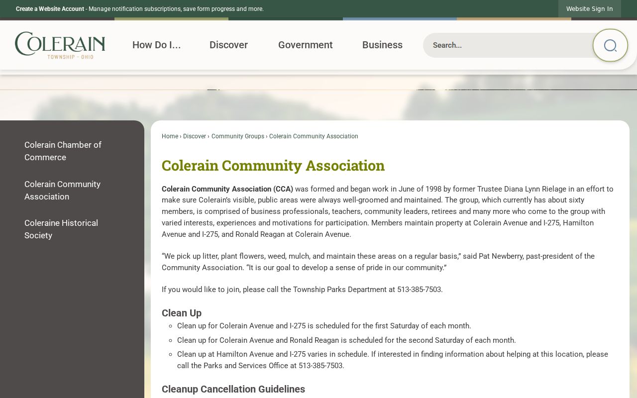
The association image is a public civic-contact reference, not evidence of a member list or a block roster.
The Township Community Groups page is the official source that places the three organizations in the local civic context.
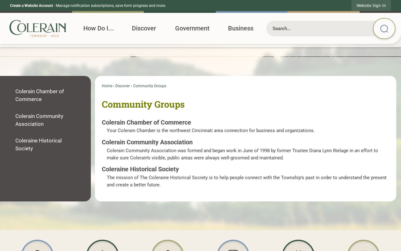
Those group listings provide public institutional leads while leaving private membership and household information outside the process.
Colerain Township Block Requests
For a known local file, the Township Fiscal Officer is the correct custodian for township-created proceedings, accounts, retention schedules, and public-records fulfillment. The Township Public Records Request page provides three channels: the Customer Service Request System, telephone at 513-385-7500, and an in-person request at 4200 Springdale Road, Colerain Township, OH 45251.
Use the online system by selecting Request Service, entering the requester's address or the Administration Building address, choosing Records Request in the Step 2 menu, describing the existing document, and supplying contact information. A block question needs a defined record series, address, approximate date, and file type. The township does not advertise a standalone public permit or code-case search, so a broad request for information about people will not identify a specific township record to retrieve.
The official request workflow also links Police and Fire & EMS retention schedules, which can help identify the correct record series before a request is made.
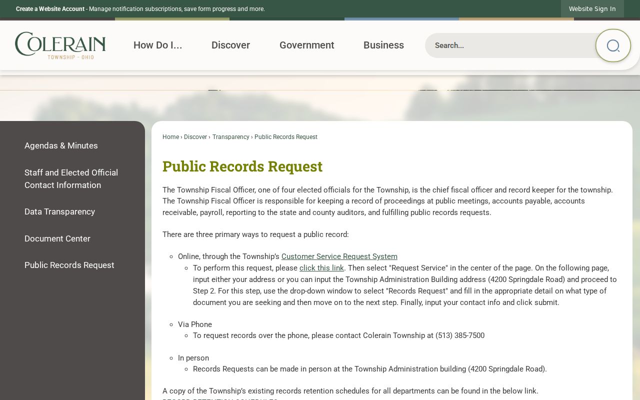
The request screen is a route for a narrowly described township-created record, rather than a tool for generating a neighborhood list.
Colerain Township Neighbor Tools Compared
Official and commercial categories operate differently. The county systems identify the source record, its field structure, and its access limit. A commercial people-search category may combine old or mismatched material from multiple places and may provide an opt-out path for its own display, but it cannot delete a public Recorder, Auditor, court, or election record. For a block question, an official source is stronger because its date and record role can be checked.
| Official record route | Commercial people-search category |
|---|---|
| Shows a named custodian, record type, dates, and access restrictions. | May combine material whose date and source need independent checking. |
| Parcel, deed, court, and voter tools have separate functions and protected fields. | An opt-out can affect one display, not the underlying official record. |
| Supports a narrow request to the office that created or holds a record. | Does not replace custodian verification or protected-address rules. |
Colerain Township Neighbor Privacy
Colerain Township neighbors are not defined by a parcel card. An owner field, a situs address, and a tax-billing or mailing field can all describe different things. The Auditor does not have a public phone or email database. A map identifies land context. A Recorder record identifies a dated land role. The voter tools are limited to the functions and public fields Ohio law allows. None becomes a current-household inventory when placed beside the others.
Some absences are lawful protections. Ohio's Address Confidentiality Program can replace protected voter residence and precinct information with a program ID, and confidential voter information is excluded from public databases and lists. Court records can be sealed, expunged, or subject to remote-access restrictions. If a field appears redacted or a result is sparse, ask the actual custodian about the relevant record and legal authority rather than drawing a conclusion from the gap.
Lawful use. Use Colerain Township block records for personal, lawful research and civic context. Do not use them to stalk, harass, intimidate, or harm anyone.