
Search a Colerain Township Street
Start a by-address search in the Hamilton County Auditor Property Search. Its Street Address mode accepts a House # Exact/Low value, an optional House # High value, and a street name. The Auditor instructs users to leave off suffixes such as ST, DR, and CT. One number and one street narrows to a property; a low and high number can examine a segment. Use Street Listings if the spelling is uncertain, because a number without a street is deliberately broad.
The first result is an address anchor, not a household conclusion. Record the situs address, parcel or property key, owner of record, and any transfer or book/page clues. That set of fields can be carried to the map and Recorder. The Auditor says results are limited to the first 1,000, so a long Colerain Township street may need a tighter number range or an added search field.
- Enter the street number or a number range and the suffix-free street name in the Auditor search.
- Save the situs address, parcel or property key, owner-of-record name, and any sale or transfer clue.
- Open the parcel in CAGIS to locate its tax-map context and adjoining parcel references.
- Use the Recorder's parcel, book/page, document, or party routes to inspect the recorded land trail.
- For a historical address clue, check a Williams street or householder guide and verify the dated entry with independent records.
Colerain Township Street Directory Fields
The Auditor is the practical front door for a Colerain Township street directory search because it joins owner, street, parcel, sale, and advanced modes in one interface. Owner entries accept partial text and are entered surname first for an individual. Parcel numbers can be partial, though the research notes that most Hamilton County parcel IDs have 13 characters. The Advanced mode supplies land and building filters, transfer dates, document book/page, and the Origin Property Key / Feet from Origin controls.
| Auditor field | Use on a street search | Format or limit |
|---|---|---|
| House # Exact/Low and High | One property or a numbered street segment | High is optional; use both for a range. |
| Street Name | Matches an address corridor | Enter without ST, DR, or CT; confirm with Street Listings. |
| Owner/Organization/Other Name | Tests a recorded owner against a parcel | Surname first for an individual; partial entries accepted. |
| Parcel Number | Moves from a result to a specific land key | Partial matches allowed; most IDs have 13 characters. |
| Book/Page or transfer dates | Connects a parcel to a recorded transfer | Available through Advanced search. |
| Origin Property Key / Feet from Origin | Builds a bounded nearby parcel set | Use as a geographic filter, not a relationship claim. |
The Auditor's records and downloads page also identifies public-records channels and downloadable property data. For an aggregate question about a corridor, that documented route can be more suitable than treating individual result cards as a complete street list.
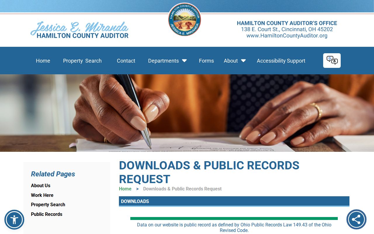
The screenshot shows the official Auditor records area that supports a request or data-based follow-up after the initial address search.
Map Colerain Township Street Parcels
CAGIS Online is the bridge between a street result and its map parcel. The official instructions say to choose Quick Find on the toolbar, then select Tax Maps and enter a book/page such as 65-2, or select Parcel ID and enter a book-page-parcel value such as 65-2-1. Choose Show Parcel Data for the property report. That workflow is useful when a deed uses land anchors that do not repeat a modern street address.
Move along the map one parcel at a time. A colored polygon or an aerial edge is a locator, not a surveyed boundary and not proof of ownership. The Auditor cautions that CAGIS and aerial parcel lines are approximate; an exact boundary requires a licensed surveyor reading the deed and marking it. This distinction matters most near a corner, a curved road, or a subdivision line.
The Auditor reported that more than 350,000 county parcels were viewed for the 2023 reappraisal. That scale explains why a Colerain Township street search works best as a narrow parcel-and-document trail rather than a casual scan of every map shape.
Colerain Township Street Records
Address-keyed sources overlap, but they do not have the same purpose. The property system identifies a current recorded ownership and parcel context. The Recorder supplies recorded instrument parties and legal land anchors. A court address route can point to a public case or lien. Township material may document a known planning, zoning, meeting, or administrative file. The Williams publications add a dated street-guide clue when their geographic coverage includes the address.
| Address record | What it can establish | Colerain Township access route |
|---|---|---|
| Auditor parcel card | Owner of record, situs, parcel key, sale and structural fields | Auditor Property Search or Auditor counter and public-records channels. |
| Tax map and parcel display | Parcel-to-map relationship, tax-map book/page, nearby parcel context | CAGIS tax-map instructions and engineering channels. |
| Recorded document | Grantor, grantee, instrument date, type, number, and legal description | Recorder Acclaim index, account route for images, counter, or a specific request. |
| Clerk parcel or address search | A public case, lien, or land-related proceeding | Clerk Records Search and a specific-record request if remote access is limited. |
| Township administrative file | Known planning, zoning, subdivision, meeting, or service context | Township request system, phone, or the Administration Building. |
| Williams directory | Dated street-guide or householder/occupant clue | Library Digital Library, catalog, or Genealogy and Local History Department. |
Note: Each record needs a date and a field-by-field comparison before it is treated as support for the same parcel or historical address.
Trace a Colerain Township Street
The Recorder's Acclaim index is the deed leg of the street directory. Its available search modes include Name, Record Date, Date Range/Doc Type, Book/Page, Document Number, Subdivision/Lot, Section/Town/Range, Auditor Number, Subdivision Name, and Certificate Number. Once the Auditor result supplies a parcel or a transfer reference, use the Recorder's Auditor #, Book/Page, or document route rather than relying on a street name alone.
Read each instrument as a dated land record. Capture the grantor, grantee, recording date, instrument or book/page number, document type, and legal description. An earlier street number may be absent from an old deed, while the lot, subdivision, section, or Auditor number preserves continuity. The index reports documents from 1789 forward and plats from 1850 forward, but image availability is staggered. Images use the Recorder's account and subscription route, and a counter or specific request remains the fallback for difficult items.
The Recorder parcel search is the appropriate land-anchor screen after the Auditor supplies an Auditor number or parcel key.
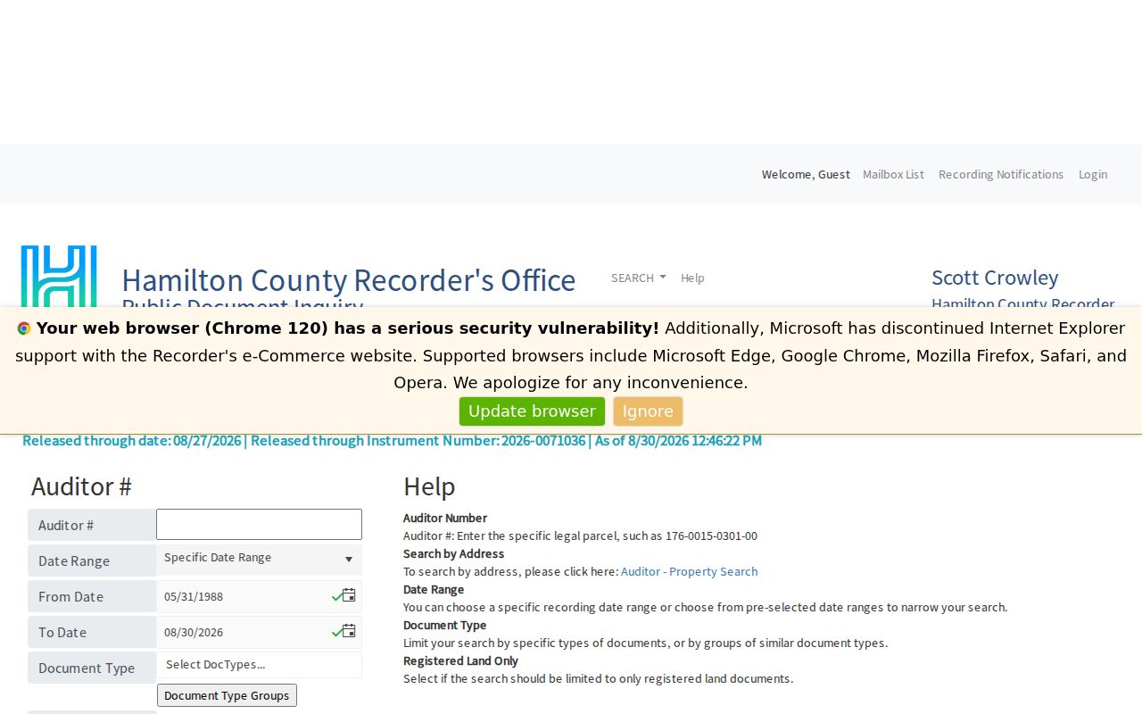
The official parcel screen demonstrates why the street address begins the trail, while the land anchor carries it into recorded documents.
Colerain Township Address Keys
Three fields often appear together but answer different questions. Keep them separate before following a Colerain Township address through a street directory or title trail. A mailing destination can differ from the physical parcel, and a legal description can outlast a change in street presentation. The County Regional Planning Commission assigns addresses in unincorporated township areas, so a historic rural-route or plat reference should be bridged with maps and period sources instead of guessed into a current number.
- Parcel
- A defined unit of land in the Auditor and tax-map systems, commonly identified by a parcel or property key.
- Situs address
- The physical property location used in the Auditor street search, distinct from a mailing or tax-billing field.
- Plat
- A recorded map that lays out lots, blocks, streets, or subdivisions and helps connect land descriptions to place.
- Criss-Cross directory
- A historical address-by-street format, called Pink Pages from 1925 and Criss-Cross from 1941 in the library house-history guide.
Colerain Township Street Grids
The City/County Addressing Guidelines describe a decimal, hundred-block, and Philadelphia system across much of Hamilton County, while warning that the county has seven grids. In the default description, numbers generally rise away from the Vine Street and Ohio River reference lines, but older or curved streets can break the usual pattern. A number therefore needs its grid and street context.
The Township maintained-streets inventory is also a jurisdiction clue. Colerain Avenue and Hamilton Avenue are Ohio Department of Transportation maintained; examples such as Old Colerain, Springdale, Dry Ridge, Dunlap, Kemper, Cheviot, Blue Rock, and Struble are County Engineer maintained. Other roads may be Township or private. The classifications do not define postal or property boundaries, and the research found no authoritative township-wide renumbering or renaming year.
The Recorder's Township Maps index organizes Colerain Township plat-map pages by original town, range, and section.
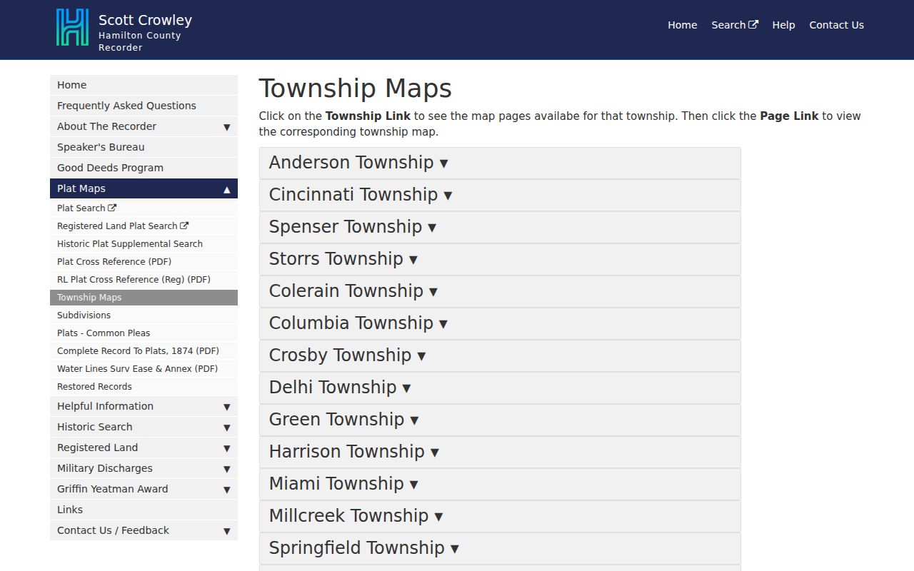
The township-map index is useful when the deed uses an original land description that does not look like a present street address.
Colerain Township Street Guides
The Public Library of Cincinnati and Hamilton County supplies the historical street layer. Its digitized 1948 Williams directory describes alphabetical private-citizen lists, a householder and occupant directory, and a complete street-and-avenue guide. The digitized 1930-31 material includes street headings with house numbers and names. Search the year-specific spelling, retain the page and part citation, and open the scan because the library cautions that OCR needs visual checking.
A printed name beside an address is a dated directory observation, not a present-day claim. The library's verified Williams examples include 1855, 1901, 1930-31, 1938, 1944, and 1948, and coverage has to be checked year by year. For a past address question, the historical formats and collections belong on the Colerain Township city directory page; the modern street directory stays centered on address-keyed land records.
Township Records by Address
Colerain Township is the custodian for its own proceedings and administrative material, not for the county deed or parcel indexes. The Township's Public Records Request page directs a requester to the Customer Service Request System, where the Records Request option is selected after entering an address or the Administration Building address. A request can also be made by phone at 513-385-7500 or in person at 4200 Springdale Road, Colerain Township, OH 45251.
Frame a request around an existing record series: a planning or zoning file, agenda, meeting proceeding, subdivision approval, service record, or retention schedule. Include the address, approximate date, document type, and a known application or agenda number when one exists. No verified township-wide permit or code-case search was located. Under the Ohio Public Records Act, a narrow request for an existing record gives the custodian something concrete to locate.
Colerain Township Street Directory Limits
A street directory cannot turn parcel data into a list of everyone behind each door. The Auditor identifies an owner of record and property attributes, while the situs and tax-billing fields can be different. The Auditor does not maintain a public phone or email database. A Recorder party is tied to a recorded role and date. The statewide voter screen verifies one named elector using first name, last name, and county; it is not a street browser.
Ohio record protections matter when a field is absent. Safe at Home participants and confidential voter registrations are protected under Ohio Rev. Code §§111.41-111.47, and §3503.13 excludes protected identifying fields from voter releases. Court material can also be sealed, expunged, or subject to remote-access limits. Treat an omission as a possible legal protection or access limit, not proof that a person was never connected with an address.
Lawful use. Use Colerain Township address records for personal, lawful research and respect protected information. Do not use a record trail to stalk, harass, intimidate, or harm anyone.